GIS files (ESRI layer package; *.BIL; *.TIF)
Type of resources
Topics
Keywords
Contact for the resource
Provided by
Formats
Representation types
Update frequencies
-

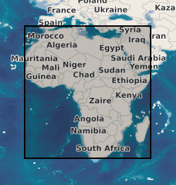
This dataset comprises a map of groundwater recharge for Africa and a database of the 134 observations used to generate the map. The map shows long term average annual groundwater recharge in mm per annum relevant to the period 1970 to 2020. It is in the form of a GIS shapefile and is available as a layer package for ESRI and also as a georeferenced TIFF and BIL file for easy exchange with other software. The database contains 134 sites for which ground based observations for groundwater recharge are available. These 134 sites are from previously published material and have gone through a QA procedure and been accurately geolocated to be included in the dataset. For each record there is a latitude, longitude, recharge estimate, recharge range, time period for the measurement; scale for which the estimate is made, methods used, a confidence rating and reason for this rating, and the reference from where the data originate. In addition, the database includes for each observation information from other continental datasets including: climate data, landcover, aquifer type, soil group and the normalized difference vegetation index (NDVI).
 NERC Data Catalogue Service